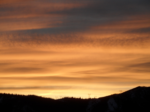
Another beautiful fall weekend ahead

Thursday, October 24, 2024
Skies have cleared with temperatures around fifty degrees this Thursday afternoon in Steamboat Springs after a quick shower passed through late this morning. After a chilly Friday morning, with a hard freeze likely, temperatures will warm into the mid-fifties on Friday and the mid to upper-sixties for the rest of the weekend and the start of the workweek. Some passing clouds may interrupt the mostly clear skies until Sunday when clouds thicken ahead of another wintry storm timed to begin Tuesday.
After a storm left around an inch of rain and a dusting of snow in town by Monday morning, and almost seven inches at the Steamboat Ski Resort, our nice fall weather returned by Tuesday with high temperatures almost ten degrees above our average of 56 F. A grazing cool front was responsible for the quick shower and breezy winds earlier today, and will keep our high temperatures slightly below average this afternoon.
A building ridge of high pressure behind the grazing front and ahead of another large and powerful storm developing in the Gulf of Alaska will lead to mostly sunny skies and warmer temperatures through the weekend. But the cool air and clear skies tonight will likely lead to the first hard freeze in the Yampa Valley Friday morning with temperatures forecast to be within several degrees of 20 F, a bit below our average of 24 F.
I was expecting that to occur on Tuesday morning in my last weather narrative, but the inch of rain Sunday night moistened the lower atmosphere and allowed fog to form as temperatures dropped on Monday night. Fog formation releases heat as the water vapor condenses and effectively stops further surface cooling, but that likely won’t happen tonight due to the much drier low levels of the atmosphere.
Plenty of sun Friday will allow high temperatures to recover toward sixty degrees after the chilly start to the day, with even more warming into the mid to upper-sixties starting Saturday and lasting into Monday.
Though we may see some passing clouds early Saturday thanks to a weak system deflected to our north by the western ridge, skies should turn mostly sunny for the rest of the day. While temperatures will stay warm on Sunday, clouds should reappear as the Gulf of Alaska storm approaches the West Coast.
Monday will be similarly warm but windier as the approaching storm moves into the Great Basin. That will be our last warm fall day for a while as an extended period of cool and wet weather is forecast to begin Tuesday, with snowfall forecast even in town. So enjoy another beautiful fall weekend, and check back for my next regularly scheduled weather narrative on Sunday afternoon for more details on our next wintry storm.


