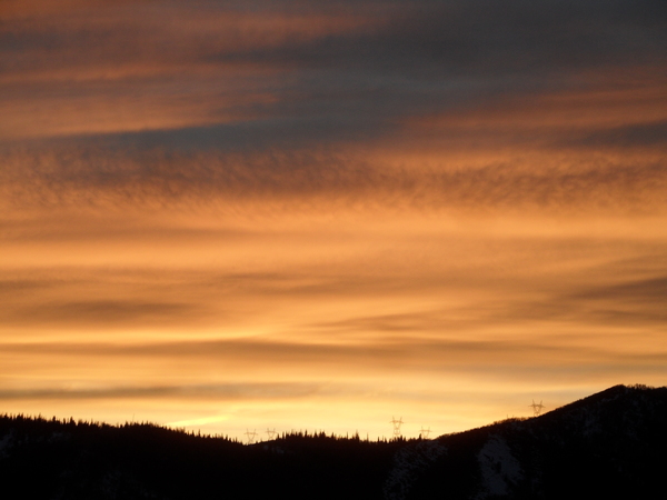
Wintry weather to begin Tuesday

Sunday, October 27, 2024
Though this Sunday morning started sunny, clouds are overspreading the Steamboat Springs area this noon ahead of a wintry storm beginning to affect the West Coast. Today will be the warmest day of the week with high temperatures once again in the mid-sixties before they fall toward sixty degrees on Monday along with breezy winds and a chance for some showers. But our warm and pleasant fall weather will abruptly end by Tuesday as a Pacific storm brings a strong cold front through Colorado. Significant snow at higher elevations and rain turning to snow in town will precede the coldest day of the season so far on Wednesday before the weather clears for the end of the workweek.
A strong Pacific storm currently extends southward along the British Columbia coast to northern California. Moisture from previous Tropical Storm Kristy, now well west of Baja, has been injected into the southwest winds ahead of the storm and is responsible for the invading clouds today. As has been the case the last several days, high temperatures will once again reach the mid-sixties, over ten degrees above our average of 53 F.
Recent weather forecast models have trended toward a chance of showers on Monday morning, though they will have to overcome a dry lower atmosphere so it is unclear whether rain will reach the surface. There may be some periods of sun and high temperatures are still expected to be above average and around sixty degrees.
But that will be the end of our pleasant fall weather, at least temporarily, as the Pacific storm crosses the West Coast Monday and moves into the Great Basin Tuesday. Precipitation should start Monday night, with the snow level starting near the top of the Steamboat Ski Resort and descending to town by Tuesday afternoon, and continue into Wednesday morning. We could see 6-12” of snow on the hill by Wednesday afternoon and 2-5” in town with high temperatures only in the thirties, with difficult travel at times over Rabbit Ears Pass after noon on Tuesday.
If skies clear behind the storm as forecast by Thursday morning, we will see the coldest temperatures of the season so far with lows forecast to be in the mid to lower-teens, almost ten degrees below our average of 22 F. The good news for the annual Halloween Stroll is plenty of sun Thursday with high temperatures warming into the forties. But temperatures will plummet as soon as the sun goes down so dress warmly under those costumes!
Another strong Pacific storm is forecast to cross the Pacific Northwest coast on Halloween, and weather forecast models disagree on whether and how much the storm splits, but there may be more weather coming our way near the end of next weekend or early the following week. Be sure to take advantage of the next two warm days and check back to my next regularly scheduled weather narrative on Thursday afternoon for more details on our next storm.


