Weekend to start nice and turn stormy

Thursday, October 31, 2024
Temperatures are only in the mid-forties under mostly sunny skies this Thursday mid-afternoon, but that is an improvement over yesterday’s mid-thirties! Mostly sunny skies with warming temperatures will start the weekend, but another wintry storm arriving Sunday brings more snow to all elevations.
By last Tuesday morning, two inches of snow fell at the mid-mountain Powdercam and five inches at the upper-mountain Powdercam until more dry air than forecast made it into our area and shut off the precipitation during the day. But the snows started again Tuesday night and continued through the afternoon Wednesday, with three inches on my deck near the base of the Steamboat Ski Resort, another four inches at mid-mountain and two inches up top.
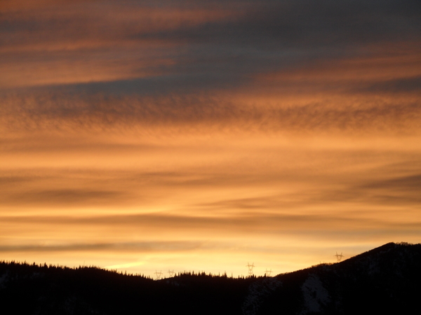
The weather has cleared behind the storm, though we may see some clouds as sunset approaches thanks to a weak weather system moving across Wyoming.
Meanwhile, a wave moving across the Bering Sea is forecast to interact with a storm over Vancouver now bringing precipitation to the Pacific Northwest and become our next weather-maker. Mostly sunny skies will start the weekend with high temperatures warming a few degrees into the upper-forties on Friday, just below our average of 51 F. Saturday will reach into the mid-fifties before afternoon clouds encroach ahead of our next significant wintry storm starting Sunday.
The Pacific Northwest storm is forecast to elongate along the West Coast on Friday before moving across the Great Basin on Saturday. Weather forecast models have struggled with the southern extent of the storm and whether it would split and form a southern eddy for several days now, and it looks like the American GFS had an overall better forecast than the European ECMWF with a more coherent storm moving across Colorado on Sunday and Monday.
There will likely still be changes in the forecast as a subtle split is emerging in the latest model iterations, which would change the speed of the storm and the distribution of precipitation. But right now, precipitation should get going by noon on Sunday with rain showers and a rain-snow mix in town turning to snow by sunset, and all snow above Christie Peak.
Snowfall looks heaviest Sunday night, with lighter snowfall continuing through the day Monday. High temperatures will only reach the low forties on Sunday and the mid-thirties on Monday. We could see 2-5” in town by the end of the day Monday and 6-12” on the hill, with difficult travel at times over Rabbit Ears Pass.
A short break on Tuesday looks to be followed by another wintry storm starting Wednesday. So enjoy the pleasant start to the weekend, and check back to my next regularly scheduled weather narrative on Sunday afternoon for the latest details on the two wintry storms.
Add comment
Fill out the form below to add your own comments


