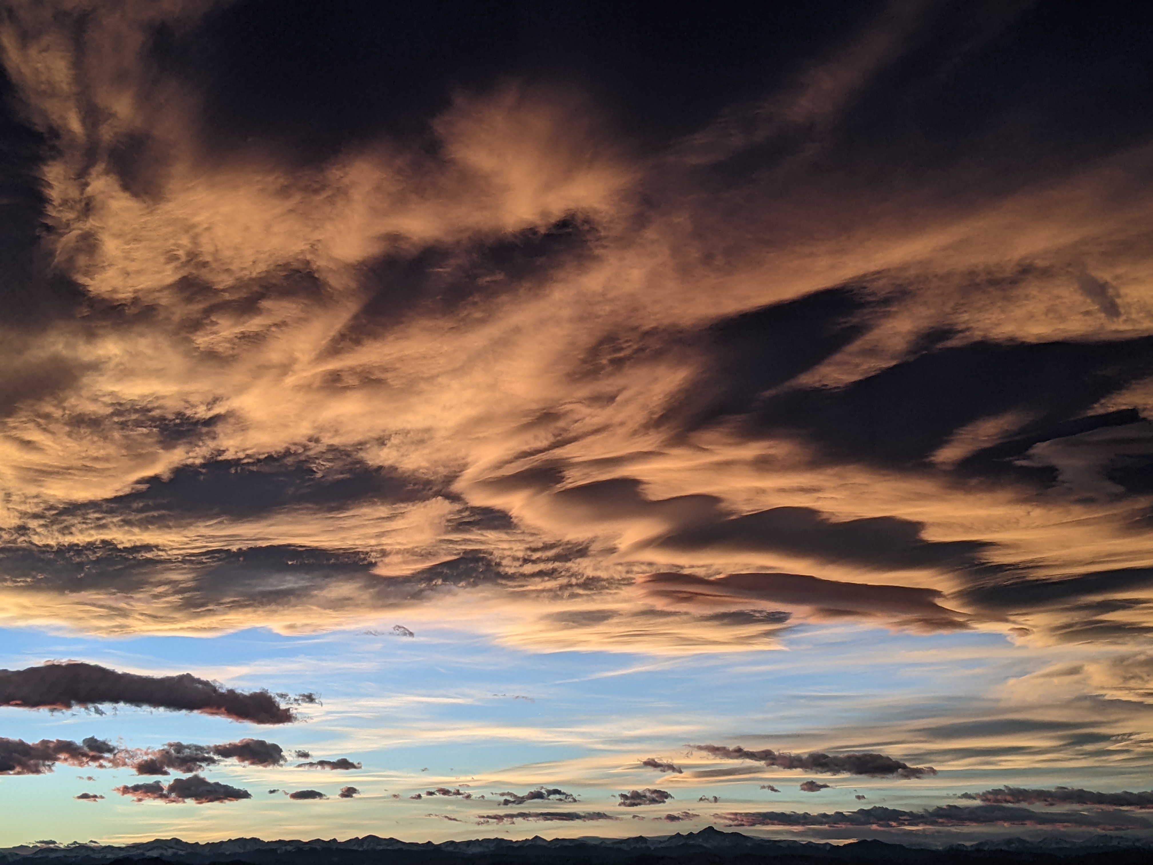
Pleasant weather ahead and behind a midweek storm
Sunday, September 14, 2025
After several days of cool and wet weather, the sky is clearing, with temperatures around sixty degrees early this Sunday afternoon in Steamboat Springs. A nice Monday will be followed by unsettled weather ahead of and behind a cold front later Tuesday, lasting through Wednesday. A warming trend begins Thursday, leading to a nice start to next weekend.
 Over a half-inch of rain fell between Thursday and today, with the season’s first snowflakes falling at the top of the Steamboat Ski Resort for a short time Saturday evening, and a dusting of snow atop Chet’s Dream chairlift at Loveland this morning.
The departing storm has allowed the sky to clear, though the cool air mass behind the storm will keep high temperatures in the upper sixties, below our average of seventy-four degrees.
However, another storm that crossed the Pacific Northwest coast earlier today quickly follows. A transient ridge of high pressure ahead of the storm means a pleasant day on Monday with high temperatures approaching our average.
As the storm moves across Idaho on Monday, a stationary front forms along the Colorado-Wyoming border, bringing increasing clouds on Tuesday with high temperatures knocked back toward seventy degrees. The front will transition into a cold front by Tuesday afternoon or evening, bringing showers that will continue overnight and Wednesday, with high temperatures on Wednesday back to the mid-sixties.
Like the past storm, a ridge of high pressure over the central U.S. will remain strong enough to hinder the storm’s eastward motion, stalling it over Nebraska, with a chance of showers possible on Thursday afternoon. However, temperatures will rebound, with high temperatures returning to the low seventies.
Meanwhile, another storm developing in the Gulf of Alaska is forecast to make landfall along the British Columbia coast midweek. The storm will likely split, with the bulk of the storm moving across the U.S.-Canadian border and forcing the Nebraska storm eastward into the Midwest. While we should see a beautiful, mostly sunny Friday, with high temperatures rising into the mid-seventies, the amount of energy in the southern part of the split, which forms an eddy off the coast of California, may determine our chances for showers next weekend.
Enjoy the beautiful days today and Monday, hope for more rain from the midweek storm, and I’ll have more details on shower chances for the weekend in my next regularly scheduled weather narrative on Thursday afternoon.


