A couple of dry and grazing cold fronts to start the weekend
Thursday, January 15, 2026
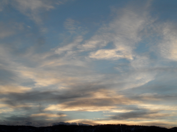
Temperatures are in the twenties at all elevations with bluebird skies this Thursday at noon in Steamboat Springs. A couple of grazing cold fronts will bring seemingly cold, but seasonable temperatures on Friday and Saturday, with a chance for some snow showers that may leave meager accumulations. Temperatures rebound on Sunday, with chances of significant snowfall a week away.
A broad ridge of persistent high pressure over the West Coast and a deep trough of low pressure over the eastern two-thirds of North America are dominating our weather. Waves of Pacific energy have traveled over the ridge of high pressure, ingesting frigid air entrenched over northern Canada. These waves then move down the east side of the ridge, grazing our area with cold but dry air.
For some reason, weather forecast models often underestimate the westward extent of these grazing waves, leading to colder and sometimes snowier outcomes. However, snowier is relative, and what was once a dry forecast for tonight and Friday night now has some possible snow showers, though any accumulations would be meager at best.
The first grazing cold front is scheduled for early Friday morning, lowering high temperatures in town from around forty degrees today to the mid-twenties on a cloudy and breezy Friday, finally below our average of twenty-nine degrees. High temperatures at the top of the Steamboat Ski Resort will struggle to reach the low teens.
There may be some snow showers, with meager accumulations possible at the higher elevations. The second grazing wave for early Saturday morning may also produce some snow showers, with temperatures similar to Friday, but with some afternoon sun.
Sunday should be a nice and sunny day with temperatures rebounding into the upper thirties. Another grazing wave is advertised for Martin Luther King Jr. Day, though its westward extent is uncertain.
Most of the following workweek looks nice, as our next chance for snowfall won’t be until Pacific energy travels through rather than over the eastern Pacific ridge of high pressure. Weather forecast models are struggling with the details of exactly how and when that will happen, though they agree that at least a weak system will affect us near the end of the workweek.
Enjoy the holiday weekend, and I’ll have more details on when we can expect our next snowfall in my next regularly scheduled weather narrative on Sunday afternoon.
Add comment
Fill out the form below to add your own comments


