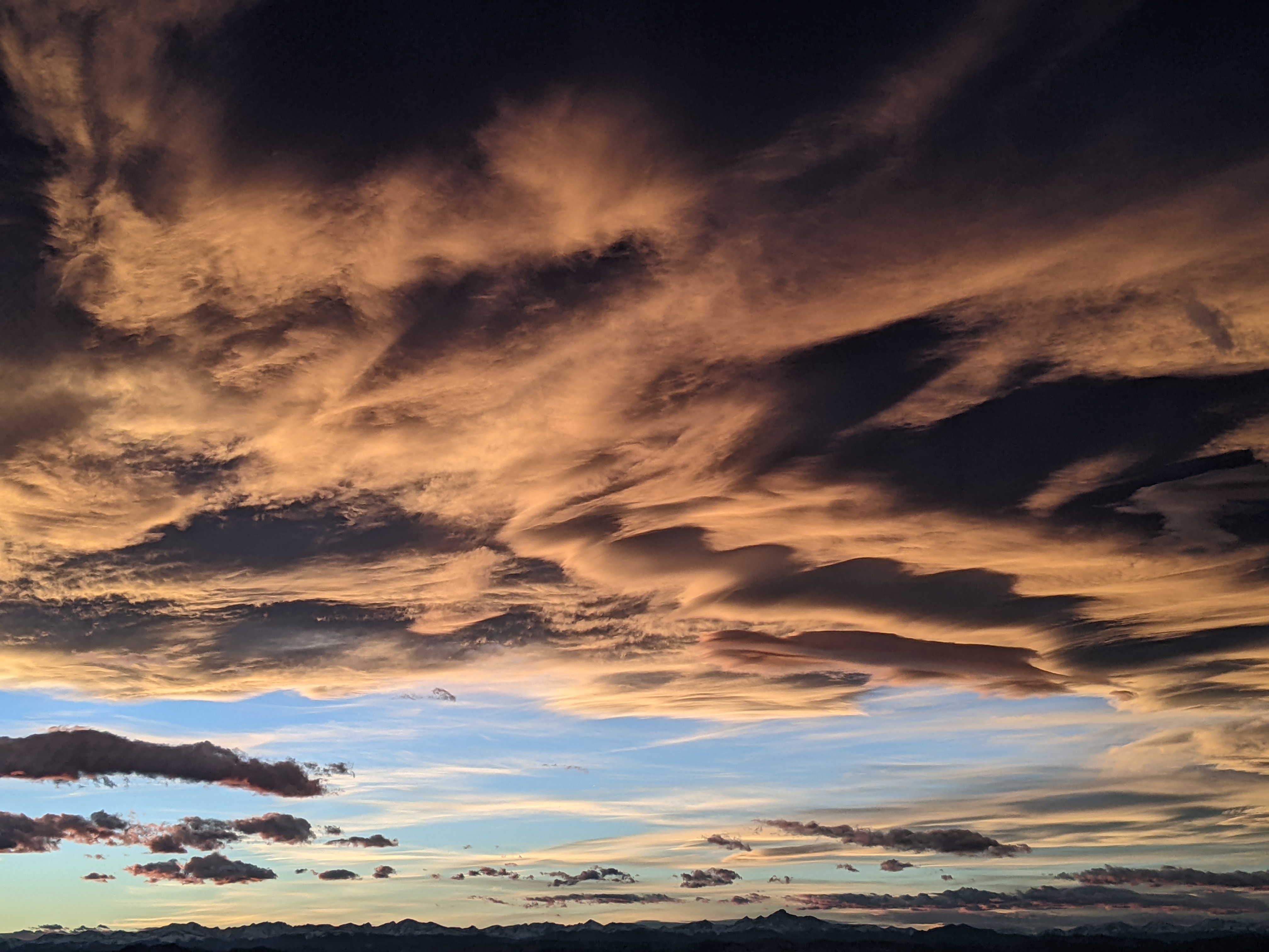
Warm and beautiful weekend ahead
Thursday, February 5, 2026
Bluebird skies are over Steamboat Springs on this Thursday at noon, with temperatures in town approaching forty degrees, on their way to the upper forties, and a shockingly warm forty degrees at the top of the Steamboat Ski Resort. Beautiful weather is forecast to continue through the weekend, with cool nights and mostly sunny, unseasonably warm days, interrupted only by some clouds for overnight Friday and possibly later Saturday. The well-advertised pattern change for next week has become more uncertain in the latest medium-range forecasts.
A ridge of high pressure over the West is under assault by a series of Pacific storms strewn across the Pacific between eastern Siberia and the Aleutian Islands. The ridge will hold firm through the weekend, with moisture trapped beneath it bringing some clouds Friday night. Clouds may also appear later Saturday as a splitting wave moves through it, depending on how much energy is partitioned into the northern part of the split and its eventual strength.
The 2015 record high temperature of 53 degrees on Friday, well above the freezing average, may be challenged, as well as the 51-degree records set in 2025 on Saturday, and 2015 on Sunday. Tonight will be the coolest night, around our 7-degree average, before the clouds on Friday and possibly Saturday night insulate the surface like a blanket, keeping low temperatures in the teens or twenties.
But what about our next storm? Weather forecast models through last night had agreed on a pattern change around Tuesday, due to a chunk of cold air from eastern Siberia moving across the Northern Pacific and merging with an atmospheric river associated with a storm south of the Aleutian Islands. As of this morning, they now forecast the Siberian wave merging with some cold air moving southward across Alaska, forcing the storm to move south off the West Coast rather than penetrating inland, delaying the arrival of cold air.
We may still see some snowfall around Tuesday and Wednesday as the atmospheric river crosses the West Coast late in the weekend, possibly joined by a wave ejected from the Aleutian storm, though southwesterly winds ahead of the original Siberian storm may or may not push that moisture and energy to our north.
There is too much uncertainty to predict snowfall chances for next week, especially considering this morning’s weather forecast model changes. So enjoy the warm and gorgeous weekend ahead, and I’ll have an update on the latest model gyrations in my next regularly scheduled weather narrative on Sunday afternoon.


