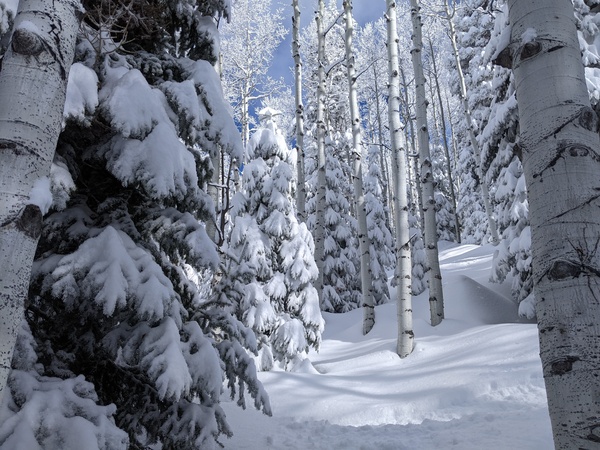
Snows to continue into Saturday morning
Thursday, February 19, 2026
Snow showers have temporarily ended over Steamboat Springs late this Thursday afternoon, with temperatures in the upper teens in town, after reaching a high of 23 degrees, and only 2 degrees at the top of the Steamboat Ski Resort, after reaching a high of 4 degrees. Including the 4 inches this morning that fell after the ski report, 17” of snow has been reported at mid-mountain since Tuesday morning, with additional accumulations expected from Friday into Saturday morning. Sunny skies return Saturday afternoon and last into the next workweek, with the current cold temperatures moderating by Sunday.
The last wave in this storm cycle, which started on Tuesday, has crossed California and entered southern Nevada and will be moving over Colorado on Friday afternoon. After a brief break in the weather tonight, light snow showers should restart early on Friday ahead of the wave, ramping up through the morning and becoming moderate to even heavy at times in the afternoon as the storm crosses the Divide.
We can expect 3-6” of snow at mid-mountain during the day, with another 2-5” overnight as showers continue in the favorable cold, moist, and unstable northwest flow behind the storm. Most of the storm should be over by midnight, though showers producing another inch or two of fluffy, low-density snowfall could continue into Saturday morning ahead of a mostly sunny afternoon.
The cold temperatures will stick around through Saturday, with high temperatures in town staying in the twenties and below our 36-degree average until a mostly sunny Sunday. Low temperatures in town will also stay below the 9.5-degree average until a mostly sunny Monday.
Meanwhile, a powerful storm is forecast develop and split in the Gulf of Alaska through the weekend, sandwiched by a ridge of high pressure building near the Dateline and another over the West. The western ridge will bring a nice and warm start to the workweek, with unsettled weather possibly returning to our area around midweek as energy and moisture from both parts of the Gulf of Alaska storm and an atmospheric river interact with the ridge.
So enjoy the appropriate mid-winter weather to start the weekend, and the nice weather that follows, and I’ll have more details about the possibly unsettled midweek weather in my next regularly scheduled weather narrative on Sunday afternoon.
Add comment
Fill out the form below to add your own comments


